With underground wifi, demand will increase for more transit apps. (Photo via Second Ave. Sagas on Instagram)
A thought experiment, if you will, based on the following question: What elements would the ideal transit map contain?
Over the past few years, the MTA has embraced, with varying degrees of success, a mantra of open data. It began with Jay Walder and has continued since his tenure as the MTA has released a whole bunch of information to the public. Some of it, such as turnstile data, helps us visualize ridership patterns while others — BusTime and SubwayTime APIs — help riders track buses and trains in real time. Even as a report from the Permanent Citizens Advisory Committee to the MTA rightly criticized the agency for shuffling its feet on issues such as searchable board PDFs and the like, the MTA has improved in leaps and bounds since early 2009 on open data.
Still, transit apps are rather limited right now, and the MTA, not the best at designing things, has tried to encourage private developers to pick up the slack. This past weekend, the agency along with AT&T hosted a hack-a-thon. It’s part of a long-term effort to reward app makers using MTA data, and as this weekend’s winners walked away with a concept and few thousand bucks, the summer’s winners could earn as much as $40,000 when the dust settles. That’s not chump change for a transit app.
As a sponsor for Capital New York, AT&T filed a puff piece from the hackathon if you want a sanitized version of the experience. Meanwhile, a few developers took home smaller prizes this weekend. Earning $5000 were the creators of Subculture.FM, a web-based app that allows straphangers to identify their favorite subway musicians, find them in the system and buy songs via a QR code. A real-time tracking app called MTA Sheriff took home $3000. It allows riders to submit reports on subway conditions. The third place winners were Accessway, an app that assists visually- or mobility-impaired riders in navigating the subway.
Of that group, the third place winner likely has the most utility. It serves a legitimate, non-frivolous purpose and is seemingly missing from the marketplace right now. Disabled passengers have a tough time getting around the system as it is, and the MTA doesn’t go out of its way to aggregate its accessibility information in an easy-to-find and easy-to-digest format. Still, it’s potential reach is limited by the number of users who need the information.
To me, it seems as though app developers are spinning their wheels a bit. An app about Arts for Transit performers, while kitschy, is hardly going to improve or impact my commute, and that’s what I want from a transit-based app. I need something with information that helps me make decisions and streamlines my ride.
That said, I see the best transit app as offering up the following:
- Real-time train tracking. Admittedly, this is limited by the fact that the B division has no countdown clocks. Add the BusTime API, and this theoretical app is even better.
- Above-ground entrance locations. I can never remember where the nearest Wall St. and Fulton St. entrances are. Show me staircase location as the MTA’s neighborhood maps do, and add Exit Strategy’s staircase location as well.
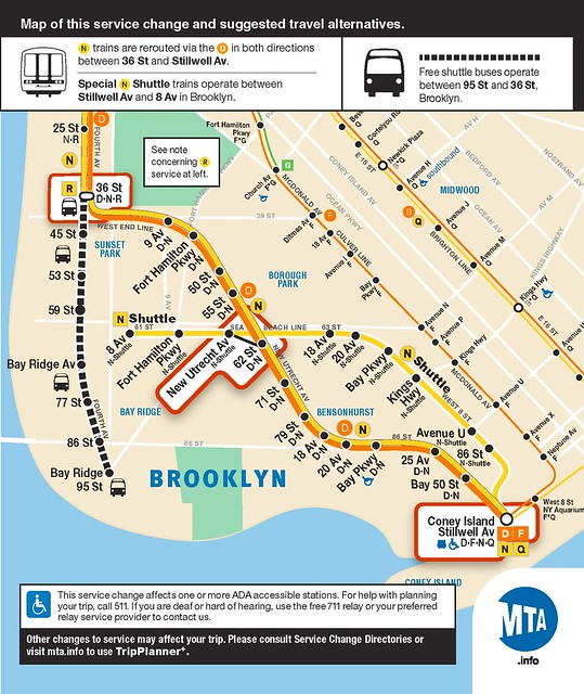
- Point-to-point directions that incorporate up-to-date service changes.
As far as I’m concerned, anything more is just window dressing. But that’s just my personal preference, and it’s a bit utilitarian. So what do you think? What goes into your ideal transit app? Maybe I’m missing something, but maybe, in an age of ever more complicated devices and apps, we’re just overthinking it.


