

Ain’t that just the prettiest little thing you ever did see? Click on it if you’d like to see it in extra large. There’s a PDF available too.
It took an event the size of the Super Bowl somewhere out in the swamps of Jersey to bring all the various regional transit options together to produce a map, but here we are. As part of a push to convince everyone in town for February’s big game to take the train, the MTA, PATH and New Jersey Transit, with a design assist from Yoshiki Waterhouse of Vignelli Associates, have released a regional transit diagram. The diagram “shows all interconnections between the regional transit services, and highlights with a football icon those areas where Super Bowl-related events will occur on both sides of the Hudson River.”
According to the MTA, for those looking for a hard copy of the diagram, check out the guides publications distributed by the Super Bowl Host Committee. The group will also make folding pocket maps available, and I’d imagine those will fetch a pretty penny on eBay later on. The MTA also plans to release four commemorative Super Bowl-branded MetroCards, available at all stations.
As to service patterns, I discussed the plans in depth earlier today, but the MTA reiterated that it will provide “more frequent rail service” during Super Bowl week. All regional transit agencies plan to halt construction during the time period too to ease travel, as 400,000 folks — or about a third the crowd in Times Square on New Year’s Eve — descend upon the area.

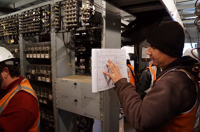


 (Rockaway Shuttle)
 After a few weeks off due to Eric’s illness and then Thanksgiving, we’re back with the ninth episode of “The Next Stop Is…,” the podcast for Second Ave. Sagas. The big news story this week is of course